
I guess the most recent photos I uploaded to Flickr probably deserve at least a little explanation, since everyone who has commented on them to me has said "it looks so cold!" (You can see these photos as a group if you look here
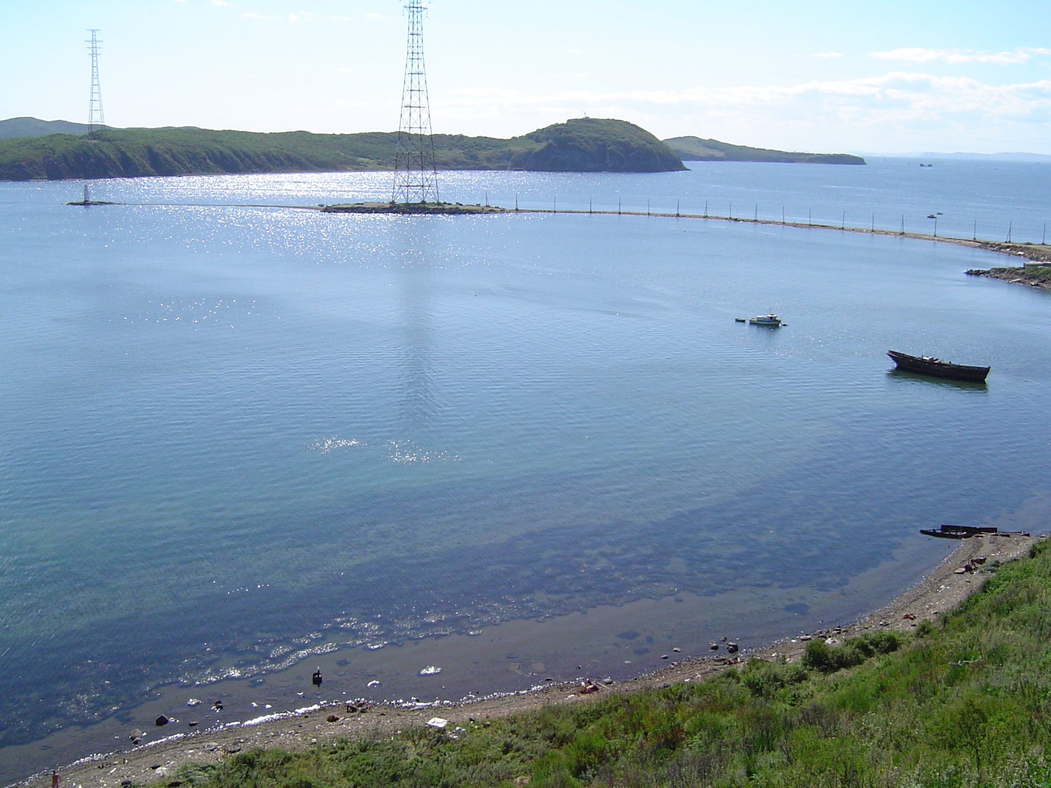
So, for orientation's sake: if you have looked at any general map of Vladivostok with much detail, you will have noticed not only that the city is situated at the southwest tip of the Murav'ev-Amurskii Peninsula, but that it also has a tantalizing finger of land dangling from its own southwest edge, which in effect sort of shelters the mouth of the Golden Horn Bay from the open water of the Amur Bay. That finger of land is "Scott Peninsula" in geographical terms (poluostrov Shkota); as a neighborhood of Vladivostok, its administrative name is “Egershel’d.” And that peninsula in turn has an even tinier spit of land (or probably just a spit made up of beach glass and other random detritus), a thin curving sliver extending off of its end, much like an accumulation of, well, spittle that might dangle from a five-and-a-half-month-old's lip
I have to confess that these places really didn't hold as much fascination for me personally as it apparently did for Dan when we first got here, and especially when we first received our car. But his interest can be surmised from the fact that the finger, and the sliver, were our very first destinations after we had our wheels. And that fascination can be even better understood (I think) if you realize that that first trip was taken at about 7:30 in the evening, in the dark. He really wanted to see that spit of land -- even if, in going there, he couldn't even see it!
Since then, it actually has become kind of fascinating to me. We've gone a couple of different times (all in the light, I am glad to say). And I find it a really interesting end-of-the-earth kind of place, yet an easy drive for us from our house. There is a lighthouse there: always makes a place slightly more picturesque. And the light out there at the end of the day, especially with all of the ice and snow right now, is really beautiful.
The pictures I posted do look cold, but in fact the reason we went out to Egersheld last Sunday was that it was a beautiful, sunny day and relatively warm. Everything just seemed like it was melting -- in fact, it is kind of gross here when it gets as warm as it has been this past week, with temperatures as high as 3 or 4C, with all the ice and snow on the streets and sidewalks melting and spattering the car, and puddles of mud and goo everywhere. Last Sunday out on Egersheld, Dan and I were wearing our fall jackets, and the sun really did warm everything up considerably.
But I guess the interesting thing about Egersheld is that it still looks pristine and white even in that weather, and the ice is only partially melted in the water out in the direction of the Amur Bay. There were several other people who had also decided to drive out there and take a walk around the lighthouse and enjoy the nice weather. We suited up the munchkin in the car when we got there, in her little polar bear-like snowsuit, and she didn’t seem to mind much at all. I think she got hungry at the end, when she started to fuss a little bit, so we wrapped it up and headed for a nearby café where we had a late afternoon snack and some coffee.
----
NB! We are taking our big trip to the US over the next two and a half weeks, so don't think that I have abandoned the blog if I am not able to add any tidbits until we are back, basically at the end of February.